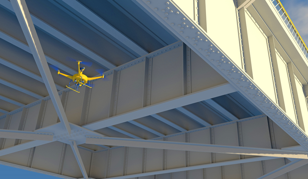
For hard-to-reach areas on bridge projects and highway surveying work, the Arizona Department of Transportation (ADOT) is turning increasingly to drone involvement through a recently awarded federal grant.
In all, the department now has eight new aerial drones to call upon thanks to the Federal Highway Administration-sponsored Arizona Council for Transportation Innovation program. It is a move they hope will increase safety and reliability, as well as shorten highway project delivery time. The department had already been making use of a single drone since last year.
“State highway bridge inspections will still be done by our inspectors, but as an example, a drone can help our teams safely get video or photos of places that are difficult to see,” David Eberhart, ADOT state bridge engineer, said.
The drones will not be used until later this year, though, because ADOT employees need to be trained and certified as drone pilots.
“Drones will play a role in surveying areas near state highways where rock fall or ground movement are potential hazards,” J.J. Liu, manager of geotechnical services for ADOT’s Bridge Group, said. “We’re focused on the safety of the traveling public in monitoring such locations. A drone can collect photos and other information across a larger survey area while helping to keep engineers or geologists out of harm’s way.”
The Arizona Council for Transportation Innovation had approved $18,100 in federal funds for the new units, as well as $4,525 in state matching funds.