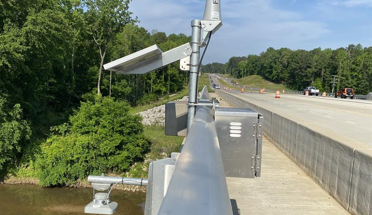
The North Carolina Department of Transportation (NCDOT) recently launched an advanced flood-warning system that relies on a network of 400 river and stream gauges.
The system will allow the agency to analyze, map, and communicate in real-time any flood risks to roads, bridges, and culverts. The information will be relayed to maintenance staff responding to flooded roads and washed-out culverts and used to update weather-related closures on the agency’s website.
The system covers nearly 3,000 miles of state-maintained roads, mostly east of Interstate 95, and will allow NCDOT to monitor flood conditions for approximately 15,000 bridges and culverts statewide.
“This state-of-the-art warning system our department has created will help us be better prepared for the next major storm,” Transportation Secretary Eric Boyette said. “Even though we’ve had some quiet hurricane seasons recently, we cannot let our guard down.”
After Hurricane Florence in 2018, the state Legislature awarded NCDOT a $2 million grant to install more flood gauges and develop software.
NCDOT will receive forecast modeling data on how storm surges may affect the state’s road network in coastal areas from the University of North Carolina at Chapel Hill’s Renaissance Computing Institute and the U.S. Department of Homeland Security’s Coastal Resilience Center of Excellence.